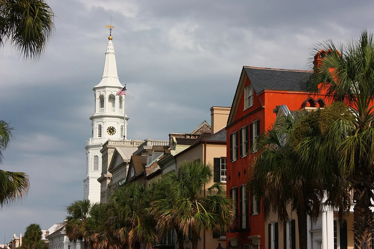
Broad Street Charleston

Get out of town

Day trips from Hilton Head Island

16 nearby parks, towns and places to explore, ordered by straight-line distance.

Outdoors

Saint Helena Island

18 miles northeast · straight-line distance

Island in Beaufort County, South Carolina, United States.

Confirm the visitor entrance, hours, reservations, access and seasonal conditions. Islands or water destinations may require different transport.
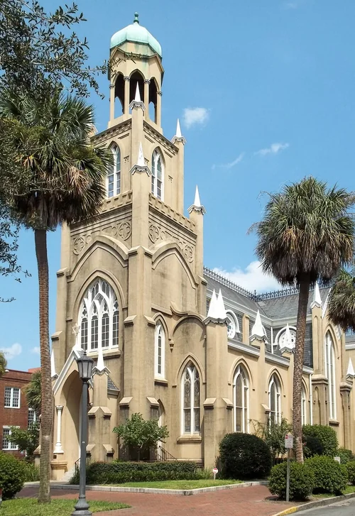
GA Savannah HD Mickve sq pano, Congregation Mickve IsraelThings to do

Congregation Mickve Israel

21 miles west · straight-line distanceAbout 50 min by car (37 road miles, typical traffic, checked October 2026)

Synagogue in Savannah, Georgia, USA.

Confirm the visitor entrance, hours, reservations, access and seasonal conditions. Islands or water destinations may require different transport.

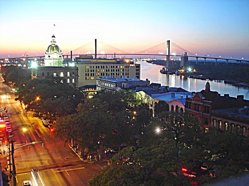
Savannah Rooftop View NW20140422Town

Savannah

22 miles southwest · straight-line distanceAbout 55 min by car (38 road miles, typical traffic, checked October 2026)

City in and county seat of Chatham County, Georgia, United States.

Confirm the visitor entrance, hours, reservations, access and seasonal conditions. Islands or water destinations may require different transport.
State park

Hunting Island State Park

22 miles northeast · straight-line distance

Barrier island and state park in South Carolina, United States.

Confirm the visitor entrance, hours, reservations, access and seasonal conditions. Islands or water destinations may require different transport.
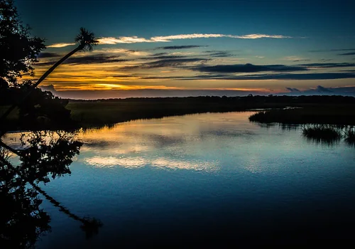
Town

Garden City

24 miles west · straight-line distanceAbout 55 min by car (45 road miles, typical traffic, checked October 2026)

City in Chatham County, Georgia, United States.

Confirm the visitor entrance, hours, reservations, access and seasonal conditions. Islands or water destinations may require different transport.
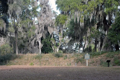
Pooler City HallTown

Pooler

29 miles west · straight-line distanceAbout 50 min by car (45 road miles, typical traffic, checked October 2026)

City in Chatham County, Georgia, United States.

Confirm the visitor entrance, hours, reservations, access and seasonal conditions. Islands or water destinations may require different transport.
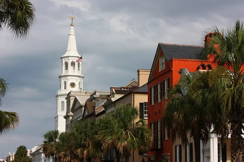
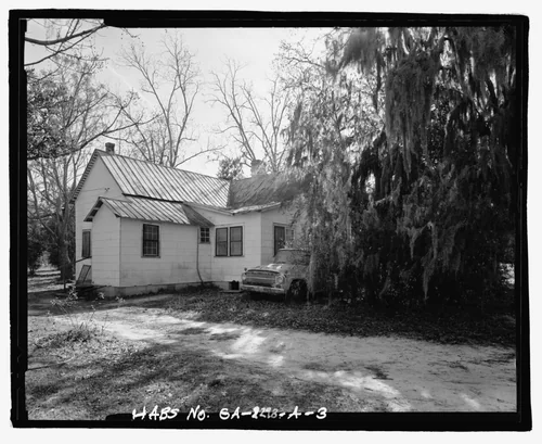
the northwest corner of the Jaudon-Bragg-Snelling House, facing southeast. - Jaudon-Bragg-Snelling Farm, House, North side ofTown

Springfield

35 miles west · straight-line distanceAbout 1 hr by car (53 road miles, typical traffic, checked October 2026)

City in Effingham County, Georgia, United States.

Confirm the visitor entrance, hours, reservations, access and seasonal conditions. Islands or water destinations may require different transport.
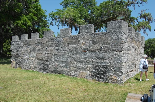
Edisto Beach State ParkState park

Edisto Beach State Park

35 miles northeast · straight-line distance

State park in South Carolina, United States.

Confirm the visitor entrance, hours, reservations, access and seasonal conditions. Islands or water destinations may require different transport.
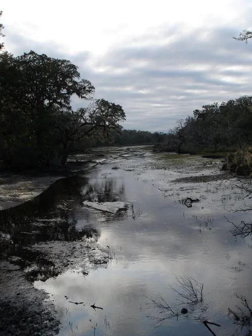
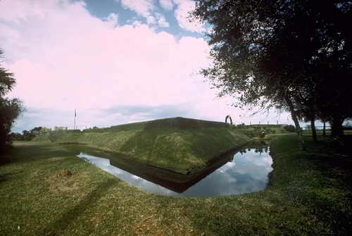
Fort Morris mounds (Midway, GA), Fort Morris Historic SiteState park

Fort Morris Historic Site

43 miles southwest · straight-line distance

State historic park in Liberty County, Georgia.

Confirm the visitor entrance, hours, reservations, access and seasonal conditions. Islands or water destinations may require different transport.
Outdoors

Johns Island

55 miles northeast · straight-line distance

Island in South Carolina, United States.

Confirm the visitor entrance, hours, reservations, access and seasonal conditions. Islands or water destinations may require different transport.
Broad Street CharlestonTown

Charleston

64 miles northeast · straight-line distanceAbout 2 hr by car (107 road miles, typical traffic, checked October 2026)

Largest city in the U.S. state of South Carolina.

Confirm the visitor entrance, hours, reservations, access and seasonal conditions. Islands or water destinations may require different transport.

Fort Fred Backside, Fort Frederica National MonumentNational park site

Fort Frederica National Monument

76 miles southwest · straight-line distance

Heritage site in St. Simons Island, Georgia, USA.

Confirm the visitor entrance, hours, reservations, access and seasonal conditions. Islands or water destinations may require different transport.

Cumberland Island National SeashoreNational park site

Cumberland Island National Seashore

102 miles southwest · straight-line distance

Heritage site in St. Marys, Georgia, USA.

BikingBoatingCampingHikingHuntingSwimmingAgency site ↗

Confirm the visitor entrance, hours, reservations, access and seasonal conditions. Islands or water destinations may require different transport.

National park site

Congaree National Park

111 miles north · straight-line distance

National park located in South Carolina.

CampingFishingHikingHistoryPaddlingPicnickingAgency site ↗

Confirm the visitor entrance, hours, reservations, access and seasonal conditions. Islands or water destinations may require different transport.

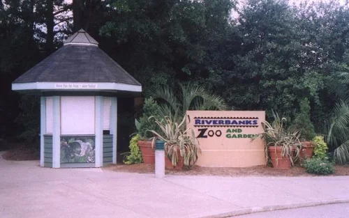
Riverbanks Zoo -South Carolina -USA-29July2004Things to do

Riverbanks Zoo

128 miles north · straight-line distanceAbout 2 hr 40 min by car (160 road miles, typical traffic, checked October 2026)

Archive organization in Columbia, United States.

Confirm the visitor entrance, hours, reservations, access and seasonal conditions. Islands or water destinations may require different transport.

Fort Caroline moat FOCA1566National park site

Fort Caroline

131 miles south · straight-line distance

Fort in Florida managed by the National Park Service.

Confirm the visitor entrance, hours, reservations, access and seasonal conditions. Islands or water destinations may require different transport.

Driving times are typical estimates from the city center without live traffic, Powered by Geoapify · © OpenStreetMap contributors.

Distances are measured in a straight line from the city, not by road. Some older drive-time estimates have no reliable date and do not reflect current traffic; routes to large parks or waterfronts may vary. Check the destination entrance before leaving. Place descriptions come from Wikidata. Photo credits include capture dates when available; photos may not show current conditions.

Outdoor places near Hilton Head Island

33 recreation areas and campgrounds within 135 miles, from Recreation.gov. Filter by what you want to do.

Recreation area

Pinckney Island National Wildlife Refuge

5 miles north · straight-line distanceFish and Wildlife Service

Pinckney Island NWR, established December 4, 1975, was once included in the plantation of Major General Charles Cotesworth Pinckney.

BikingFishingHikingHuntingPhotographyRanger programsWildlife viewing

Recreation area

Fort Pulaski National Monument

15 miles southwest · straight-line distanceNational Park Service

For much of the 19th century, masonry fortifications were the United States’ main defense against overseas enemies. However, during the Civil War, new technology proved its superiority over these forts. Using rifled cannons, the U.S.

BikingPicnicking

Recreation area

Savannah National Wildlife Refuge

19 miles west · straight-line distanceFish and Wildlife Service

Savannah National Wildlife Refuge was established in 1927 as a sanctuary for migratory birds, most notably wintering waterfowl.

BoatingFishingHuntingPhotographyRanger programsWildlife viewing

Recreation area

Gray's Reef National Marine Sanctuary

21 miles southwest · straight-line distanceNational Oceanic and Atmospheric Administration

Gray Reef’s National Marine Sanctuary is an ocean park that protects a beautiful hard-bottom area that is one of the largest nearshore sandstone reefs in the southeastern United States.

BoatingDivingFishingPhotographyRanger programsWater sportsWildlife viewing

Recreation area

Wassaw National Wildlife Refuge

25 miles southwest · straight-line distanceFish and Wildlife Service

Wassaw, one of Georgia's coastal barrier islands, was designated a National Wildlife Refuge on October 20, 1969.

BikingFishingHikingHuntingPhotographyRanger programsWildlife viewing

Recreation area

ACE Basin National Estuarine Research Reserve

39 miles northeast · straight-line distanceNational Oceanic and Atmospheric Administration

ACE Basin is one of the largest undeveloped estuaries on the East Coast. It's named for the Ashepoo, Combahee and Edisto rivers, which meander past cypress swamps, historic plantation homes, old rice fields and abundant tidal marshes to…

PaddlingPhotographyRanger programsSwimmingWildlife viewing

Recreation area

Ernest F. Hollings Ace Basin National Wildlife Refuge

40 miles northeast · straight-line distanceFish and Wildlife Service

ACE Basin NWR was established in September 1990 for its significance for wetland and habitat protection, migratory bird benefits and conservation opportunities served by the lands and waters of the refuge.

BirdingBoatingFishingHikingHuntingNature educationPhotographyRanger programs

Recreation area

Harris Neck National Wildlife Refuge

49 miles southwest · straight-line distanceFish and Wildlife Service

Harris Neck National Wildlife Refuge was established in 1962 and has since served as a premier nesting, foraging, and wintering habitat for many species of wildlife.

BikingBirdingFishingHikingHuntingNature educationRanger programsWildlife viewing

Recreation area

Blackbeard Island National Wildlife Refuge

54 miles southwest · straight-line distanceFish and Wildlife Service

Blackbeard Island was acquired by the U.S. Navy at public auction in 1800 as a source of live oak timber for shipbuilding.

BikingBoatingFishingHuntingPhotographyWildlife viewing

Recreation area

Sapelo Island National Estuarine Research Reserve

61 miles southwest · straight-line distanceNational Oceanic and Atmospheric Administration

Located midway on the Georgia coastline on the eastern fringe of McIntosh County, Sapelo Island is defined by the Sapelo River to the north, the waters of Doboy Sound to the south, the Atlantic Ocean to the east, and the Duplin River to…

HikingHistoryPaddlingPhotographyRanger programsSwimmingWildlife viewing

Recreation area

Fort Sumter and Fort Moultrie National Historical Park

65 miles northeast · straight-line distanceNational Park Service

Two forts stand at the entrance of Charleston Harbor. Patriots inside a palmetto log fort, later named Fort Moultrie, defeated the Royal Navy in 1776.

BoatingFishingHistoryWildlife viewing

Recreation area

Wolf Island National Wildlife Refuge

67 miles southwest · straight-line distanceFish and Wildlife Service

Wolf Island National Wildlife Refuge, which also includes Egg Island and Little Egg Island, is located at the mouth of the Altamaha River on the Georgia coast.

FishingMotor BoatNon-Motorized BoatingPhotographyWildlife viewing

Recreation area

Charles Pinckney National Historic Site

71 miles northeast · straight-line distanceNational Park Service

Charles Pinckney was a principal author and signer of the United States Constitution and went on to be a political leader in South Carolina for over 40 years.

BoatingHistoryPicnickingWildlife viewing

Recreation area

Gullah/Geechee Cultural Heritage Corridor

71 miles northeast · straight-line distanceNational Park Service

Designated by Congress in 2006, the Gullah Geechee Cultural Heritage Corridor extends from Wilmington, North Carolina in the north to Jacksonville, Florida in the south.

BikingFishingHistoryPaddlingPicnickingSwimmingWildlife viewing

Recreation area

Cape Romain National Wildlife Refuge

84 miles northeast · straight-line distanceFish and Wildlife Service

Established in 1932 as a migratory bird refuge, the refuge's original objectives were to conserve in public ownership habitat for waterfowl, shorebirds and seabirds, and resident species.

BeachBirdingBoatingFishingHikingHuntingNon-Motorized BoatingPhotography

Campground

Buck Hall Recreation Area

91 miles northeast · straight-line distanceAbout 2 hr 40 min by car (137 road miles, checked October 2026)USDA Forest Service

Buck Hall Recreation Area offers a premier location to enjoy the outdoors. It is situated along the Intracoastal Waterway and provides great access to Cape Romain National Wildlife Refuge, 65,000 acres of marsh, tidal creeks and beaches;…

BikingBoatingCampingFishingHikingWildlife viewing

Recreation area

Santee National Wildlife Refuge

95 miles north · straight-line distanceFish and Wildlife Service

Santee National Wildlife Refuge, encompassing 15,000 acres, was established in 1942 and is located in the upper Atlantic Coastal Plain region of South Carolina.

BirdingBoatingFishingHuntingWildlife viewing

Recreation area

Cumberland Island National Seashore

100 miles southwest · straight-line distanceNational Park Service

St Marys is the gateway to Cumberland Island, Georgia's largest and southernmost barrier island. Here pristine maritime forests, undeveloped beaches and wide marshes whisper the stories of both man and nature.

BikingBoatingCampingHikingHuntingSwimmingWildlife viewing

Recreation area

Congaree National Park

111 miles north · straight-line distanceNational Park Service

Astonishing biodiversity exists in Congaree National Park, the largest intact expanse of old growth bottomland hardwood forest remaining in the southeastern United States.

CampingFishingHikingHistoryPaddlingPicnickingWildlife viewing

Campground

Cumberland Island National Seashore Camping Permits

111 miles southwest · straight-line distanceAbout 2 hr 25 min by car (152 road miles, checked October 2026)National Park Service

Whether you are looking to spend a night with family and friends around a campfire under the moss covered branches of the live oak trees, or looking for the rugged challenges and solitude of the wilderness, you will find it on Cumberland…

BackpackingBeachBirdingBoatingCampingFishingHikingKayaking

Campground

Bluff Hike In Camping

114 miles north · straight-line distanceAbout 3 hr 15 min by car (155 road miles, checked October 2026)National Park Service

This is a hike-in campground that is located at the intersection of the Bluff and Firefly Trails, approximately 1 mile from both the Harry Hampton Visitor Center and the Longleaf Campground.

BackpackingBirdingCampingCanoeingHikingKayakingRanger programsStar Gazing

Campground

Longleaf Campground

115 miles north · straight-line distanceAbout 2 hr 50 min by car (155 road miles, checked October 2026)National Park Service

This campground is located just off the park entrance road, approximately ½ mile before the Harry Hampton Visitor Center, in a mixed pine/hardwood upland forest.

BackpackingBirdingCampingCanoeingFishingHikingKayakingRanger programs

Recreation area

South Carolina National Heritage Corridor

115 miles northwest · straight-line distanceNational Park Service

Designated in 1996, the South Carolina National Heritage Corridor is committed to promoting and preserving the cultural, natural and historic resources of the state.

BikingCampingFishingHikingPaddlingSwimmingWildlife viewing

Recreation area

Augusta Canal National Heritage Area

117 miles northwest · straight-line distanceNational Park Service

The Augusta Canal helped usher the Industrial Revolution into the American South. Built in 1845 as a source of power, water, and transportation, the canal today is the only fully intact American industrial canal in continuous operation.

BikingBoatingFishingPaddlingPicnickingWildlife viewing

Recreation area

North Inlet-Winyah Bay National Estuarine Research Reserve

121 miles northeast · straight-line distanceNational Oceanic and Atmospheric Administration

North Inlet-Winyah Bay National Estuarine Research Reserve protects more than 12,327 acres of habitats ranging from tidal and transitional marshes to oyster reefs, beaches, and inter-tidal flats and from coastal island forests to open…

PaddlingPhotographyRanger programsSwimmingWildlife viewing

Recreation area

Timucuan Ecological & Historic Preserve

126 miles south · straight-line distanceNational Park Service

Visit one of the last unspoiled coastal wetlands on the Atlantic Coast. Discover 6,000 years of human history and experience the beauty of salt marshes, coastal dunes, and hardwood hammocks.

BoatingHikingHistoryPaddlingPicnickingWildlife viewing

Recreation area

Okefenokee National Wildlife Refuge

128 miles southwest · straight-line distanceFish and Wildlife Service

The Okefenokee National Wildlife Refuge was established in 1937 as a "refuge and breeding ground for migratory birds and other wildlife.” The refuge conserves the unique features of the Okefenokee Swamp,the headwaters of the Suwannee and…

BoatingCampingEducational ProgramsFishingHikingHuntingMotor BoatNon-Motorized Boating

Campground

Below Dam South Carolina

132 miles northwest · straight-line distanceAbout 3 hr 15 min by car (172 road miles, checked October 2026)US Army Corps of Engineers

Below Dam South Carolina Recreation Area is a popular park just below J. Strom Thurmond Lake Dam along the Savannah River. The park is located on Power Plant Road just off South Carolina State Highway 221 near the Visitor Center.

BoatingCampingFishingHikingPicnickingWildlife viewing

Campground

Clarks Hill

132 miles northwest · straight-line distanceAbout 3 hr 15 min by car (174 road miles, checked October 2026)US Army Corps of Engineers

Clarks Hill is a popular park on J. Strom Thurmond Lake, just off Georgia State Highway 221 near the dam.

BoatingCampingFishingPicnickingSwimmingWater Access

Recreation area

J. Strom Thurmond Lake

132 miles northwest · straight-line distanceUS Army Corps of Engineers

Thurmond Lake is the largest Corps of Engineers lake east of the Mississippi River. The lake encompasses 1,200 miles of shoreline, 70,000 acres of water and 80,000 acres of land.

BikingBoatingCampingFishingHikingHorseback ridingHotel/Lodge/Resort Privately OwnedNature education

Campground

West Dam

132 miles northwest · straight-line distanceAbout 3 hr 15 min by car (172 road miles, checked October 2026)US Army Corps of Engineers

West Dam Recreation Area is one of the most popular parks on J. Strom Thurmond Lake. With 70,000 acres of surface-area and 1,000+ miles of shoreline, J.

CampingFishingHikingPicnickingSwimming

Campground

Lake Springs

134 miles northwest · straight-line distanceAbout 3 hr 15 min by car (171 road miles, checked October 2026)US Army Corps of Engineers

Lake Springs Recreation Area is one of the most popular parks on J. Strom Thurmond Lake. The park is located on Georgia State Highway 221 within twenty minutes of Augusta, Georgia.

Accessible SwimmingBikingBoatingCampingFishingHikingLookout TowerPicnicking

Campground

Petersburg

135 miles northwest · straight-line distanceAbout 3 hr 15 min by car (170 road miles, checked October 2026)US Army Corps of Engineers

Petersburg Campground is located on J. Strom Thurmond Lake, only four miles away from the Lake Thurmond Visitor Center and Dam and only 25 miles from Augusta, Georgia.

BikingBirdingBoatingCampingFishingHikingKayakingPhotography

Recreation areas and campgrounds from Recreation.gov's directory, checked October 9, 2026. Listings are not live availability: check Recreation.gov or the managing agency for open dates, fees, reservations and conditions. Directions go to the listed coordinates, which may not be the entrance. Campground driving times: Powered by Geoapify · © OpenStreetMap contributors.

Questions

What day-trip ideas are near Hilton Head Island?

This guide includes Saint Helena Island, Congregation Mickve Israel, Savannah, Hunting Island State Park, Garden City. Places are ordered by straight-line distance. Confirm visitor access, opening hours and current travel conditions before choosing a trip.

How far is Saint Helena Island from Hilton Head Island?

Approximately 18 miles northeast in a straight line. This is not current traffic or a route to a confirmed visitor entrance. Check your route before leaving.

How far is Congregation Mickve Israel from Hilton Head Island?

Approximately 21 miles west in a straight line; driving takes about 50 min over 37 road miles in typical traffic (Geoapify, checked October 2026). This is not current traffic or a route to a confirmed visitor entrance. Check your route before leaving.

How far is Savannah from Hilton Head Island?

Approximately 22 miles southwest in a straight line; driving takes about 55 min over 38 road miles in typical traffic (Geoapify, checked October 2026). This is not current traffic or a route to a confirmed visitor entrance. Check your route before leaving.

Where can I camp near Hilton Head Island?

Recreation.gov lists 9 campgrounds within 135 miles, including Buck Hall Recreation Area (91 miles northeast), Cumberland Island National Seashore Camping Permits (111 miles southwest), Bluff Hike In Camping (114 miles north). Check Recreation.gov for current availability, seasons and reservations.

Hilton Head Island AI

Your Hilton Head Island local guide
Hey there!

I'm Hilton Head Island AI. Ask about neighborhood food, independent shops, local history or planning a visit.

AI recommendations may be inaccurate. Verify hours and prices. Questions are processed by Cloudflare. Privacy